No doubt about it - that event happened. There is no denying that - seeing is believing and the good news is that heatwaves are now on people’s radars a bit more, just a bit more. . .
One recent article said, "It’s a teachable moment in many ways for the public that climate change is here and now and dangerous. It isn’t our grandchildren’s problem, it’s our problem. But it’s been a teachable moment for climate scientists too.”
The most extensive heatwave of a scorching summer is set to descend upon much of America in the coming week, further roasting areas already gripped by severe drought, plunging reservoirs and wildfires.

National Weather Service Climate Prediction Center
| 6 to 10 Day Outlooks | |
| Valid: July 30 to August 03, 2021 Updated: 24 Jul 2021 | |
| Click below for information about how to read 6-10 day outlook maps Temperature Precipitation | |
| Click below for archives of past outlooks (data & graphics), historical analogs to todays forecast, and other formats of the 6-10 day outlooks Archives Analogs Lines-Only Format GIS Data | |
Temperature Probability | |
Precipitation Probability | |
| Related Topics: Prognostic Discussion, 500mb Heights and Anomalies, Model Guidance Used, 8 to 14 Day Outlooks, Heat Index, Our Mission, Who We Are, CPC Information, CPC Web Team | |
| NOAA/ National Weather Service National Centers for Environmental Prediction Climate Prediction Center 5830 University Research Court College Park, Maryland 20740 Page Author: Climate Prediction Center Internet Team Page last modified: January 25, 2021 | Disclaimer Information Quality Credits Glossary | Privacy Policy Freedom of Information Act (FOIA) About Us Career Opportunities |
========================================================================

ReReference: https://www.weather.gov/
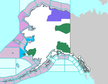
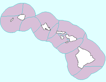
Flash Flood Threat to Persist in the 4-Corners; Heat Threat in Several Regions
The threat of flash flooding will continue to exist into Monday across the Southwest into the the central Rockies as monsoon conditions persist. Dangerous heat will be in place across the Intermountain West, northern Plains, and into the southern Plains and Lower Mississippi River Valley into early week. Read More >
Click on the map above for detailed alerts or


No comments:
Post a Comment