The entire world is now dealing with the new extreme consequences
✓
Infographic: How were India-Pakistan partition borders drawn?
This animated map shows how the borders of the Indian subcontinent have evolved since the 1947 partition

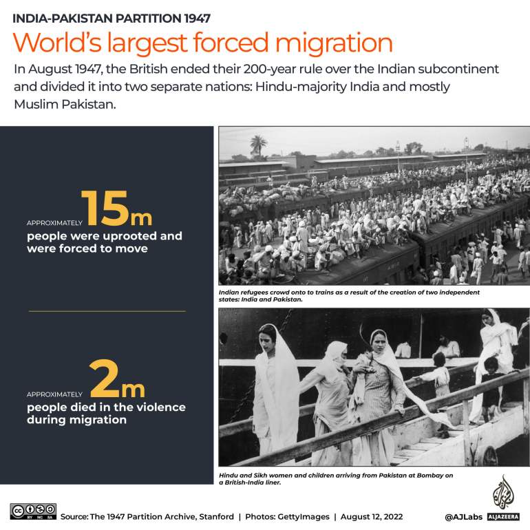
Seventy-five years ago, Sir Cyril Radcliffe, a British lawyer, was commissioned to draw the borders that would divide British-ruled India into two new, independent nations: Hindu-majority India and mainly Muslim Pakistan.
He had just five weeks to do so despite having never travelled to India, which had been under British rule for 200 years.
Keep reading
list of 3 itemsSouth Asian diaspora brings 1947 partition to Western pop culture
75 years of India partition: How tech is opening window into past
UK South Asians push for partition history in school curriculum
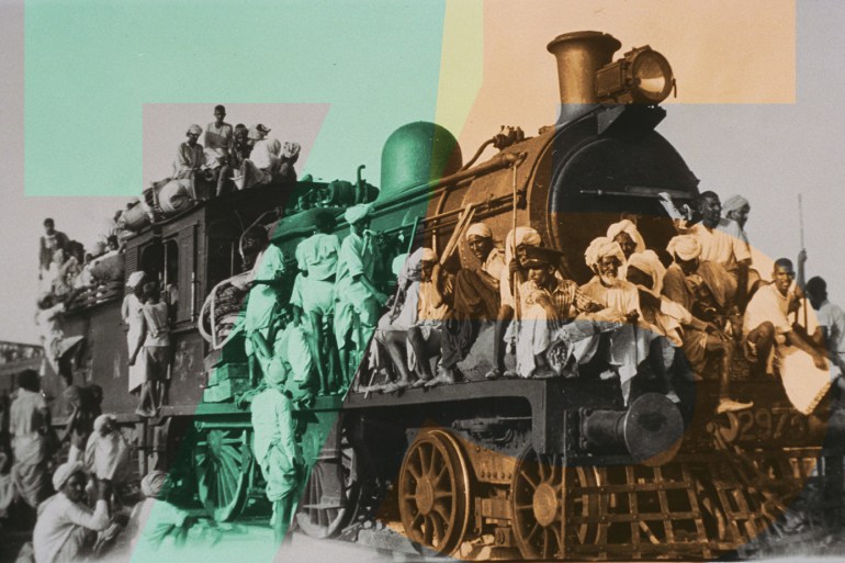
The lines he drew triggered one of the largest forced mass migrations in modern history, with roughly 15 million people displaced and more than two million people killed.

The boundary between the two nations became known as the Radcliffe Line and was officially announced on August 17, 1947, days after the independence of India and Pakistan.
Radcliffe was asked to base his lines on the population of Muslims and Hindus, in addition to “other factors”. These additional factors were never officially defined but are believed to include economic and communication resources, such as irrigation channels and railway lines.
Toggle through the displayed options on the graphic below and draw lines on the map based on how you think Radcliffe drew the borders.
The information on population, railways and rivers is based on the archived maps from The Imperial Gazetteer of India of 1931.
How India, Pakistan and Bangladesh were formed
The process of partition was not simple. In addition to the British-controlled territories, the subcontinent also consisted of many other territories controlled by the French, Portuguese or Omani rule, as well as more than 500 sovereign princely states ruled by local monarchs.
Upon independence, the British gave the princely states the option to join India or Pakistan – by signing the Instrument of Accession – or to remain independent. Some of these territories and princely states did not become part of India or Pakistan until recently.
Today, Kashmir remains the only region of British India that has not been fully integrated into one of the two nations or gained political independence.
In the following two-minute animation, Al Jazeera looks at how the Indian subcontinent was divided by the British in 1947 and how it has changed since.

No comments:
Post a Comment