
Hammad Shahid - GIS & Remote Sensing Specialist | Flood, Forest & Wildlife Mapping for Research & NGOs | ArcGIS, QGIS, GEE, Python | LinkedIn
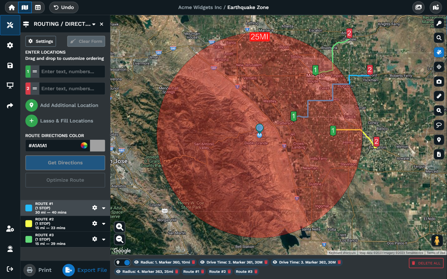
Disaster response accessibility mapping transforms complex geographic, logistical, and demographic data into real-time visual tools.
These maps ensure emergency services can reach impacted areas and that
vulnerable populations can safely navigate to relief. Governments and
organizations rely on these spatial platforms to mitigate risks and
direct life-saving resources.
Core Functions of Accessibility Mapping
- Evacuation Routing: Identifies open roads. Highlights gridlocked areas. Outlines flood-blocked paths.
- Resource Location: Tracks operational shelters. Maps out food distribution centers. Marks temporary medical tents.
- Infrastructure Monitoring: Flags down cell towers. Monitors power grid statuses. Visualizes passable bridges.
- Socio-Demographic Layering: Pinpoints isolated elderly groups. Locates non-English speaking communities. Tracks mobility-impaired residents.
SEE THIS> Cities are expanding faster than ever, but not always in a planned way.

RELATED


No comments:
Post a Comment